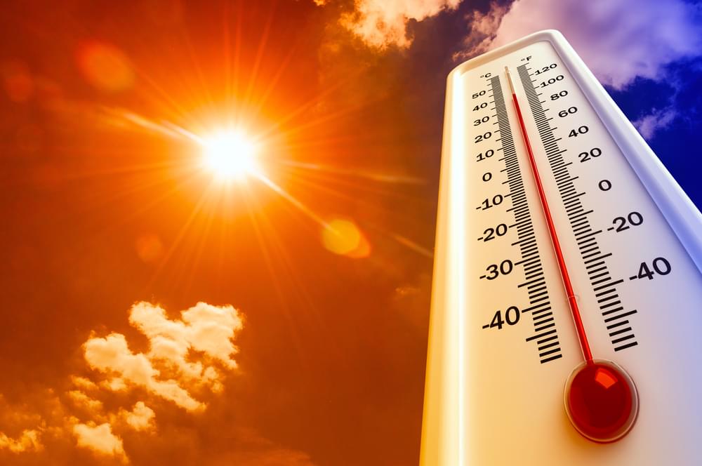
(NC News Network)–Typical August weather is back this week, including soaring temperatures and a chance for afternoon storms.
According to the NC News Network meteorologist Elizabeth Gardner, temperatures Monday afternoon will be in the low 90s but feel even warmer.
After a dry, foggy Monday morning with temperatures in the upper 60s across central North Carolina, temperatures will rise into the 90s by the afternoon on Monday.
There is a very small chance for showers Monday and Tuesday afternoons, Gardner said, but storms and rain will be more likely beginning Wednesday.
Rain chances will rise steadily over the next few days.
“We are back to this typical August pattern with the heat and humidity building back in,” said NC News Network meteorologist Zach Maloch.
While Monday and Tuesday will feel like the upper 90s, Wednesday, Thursday and Friday will feel especially hot, with heat index values above 100.
Rain chances will stay minimal, with the highest chance for rain being 40 percent on Thursday and Friday.

