(GDN)–It was a busy afternoon for the National Weather Service as severe thunderstorms and tornadoes raked across central and eastern North Carolina around dinner time Thursday.
Most of the area was put under a Tornado Watch by the Severe Storms Forecast Center at 6:00 PM and as the afternoon progressed, storms began to build with the heating of the day.
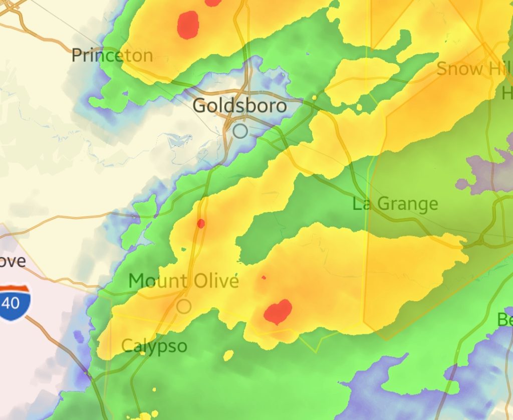
At 6:23 PM the National Weather Service issued a Tornado Warning for Wayne County as a severe thunderstorm had shown some rotation on their radar 7 miles east of Mount Olive. The storm was moving toward the northeast at 40 miles per hour and weakened quickly, prompting the Weather Service to cancel the Warning by 6:39 PM.
Another smaller storm cell to the north of the suspected tornado created quarter inch hail reported by a trained spotter on Doris Drive in Goldsboro.