


WAYNE COUNTY, NC – Weather conditions across central and eastern North Carolina have worsened overnight, prompting the National Weather Service to upgrade the previously issued Winter Storm Watch to a Winter Storm Warning.
The Winter Storm Warning is now in effect from 10 p.m. this evening through 1 p.m. Sunday for the Coastal Plain and eastern Sandhills. Forecasters are calling for heavy snow with accumulations between 5 and 8 inches, with localized areas possibly seeing even higher totals. Wind gusts could reach up to 35 miles per hour, further reducing visibility and worsening travel conditions.
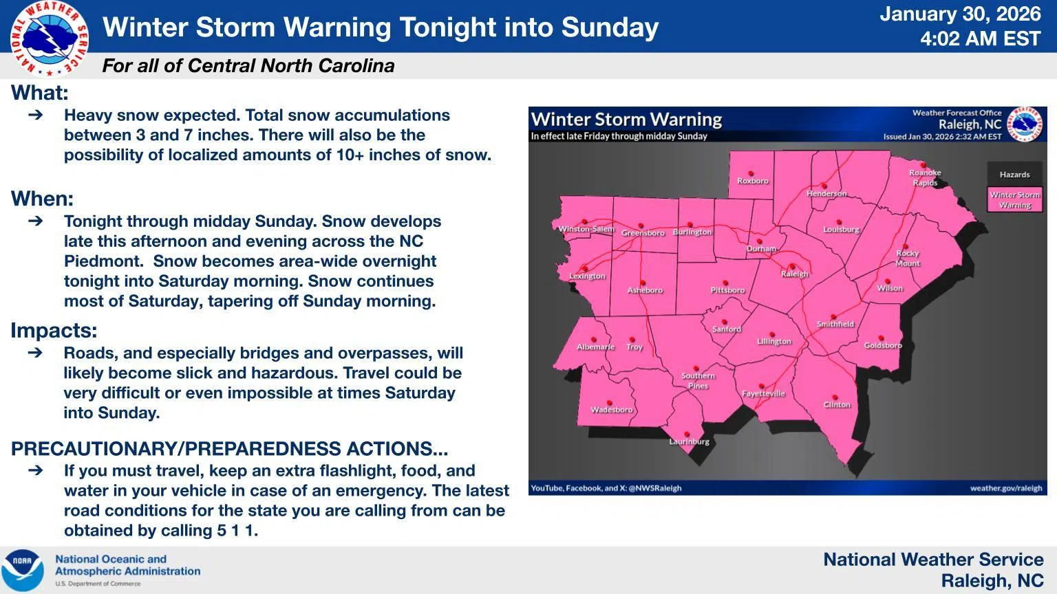
Officials warn that roads—especially bridges and overpasses—are expected to become slick and hazardous. Travel may be very difficult or even impossible at times from Saturday into Sunday.
In addition to the snow, a Cold Weather Advisory remains in effect from 1 a.m. Saturday to 1 a.m. Sunday for all of central North Carolina, with wind chills ranging from near zero to 9 degrees. An Extreme Cold Watch also remains in effect from late Saturday night through Sunday morning, with dangerously cold wind chills as low as 5 degrees below zero possible.
Prolonged freezing temperatures increase the risk of frostbite and hypothermia if skin is exposed, and could also lead to ruptured water pipes.
Emergency officials urge residents to avoid travel if possible. Those who must be on the roads are advised to keep emergency supplies in their vehicles, including extra food, water, and a flashlight. Residents should dress in layers, including hats, gloves, and face coverings, bring pets indoors, and check frequently on elderly neighbors and family members.
Officials also remind residents to use portable heaters safely and to never operate generators or grills indoors due to the risk of carbon monoxide poisoning.
Residents are encouraged to monitor the latest forecasts and alerts as conditions continue to evolve through the weekend.


Comments