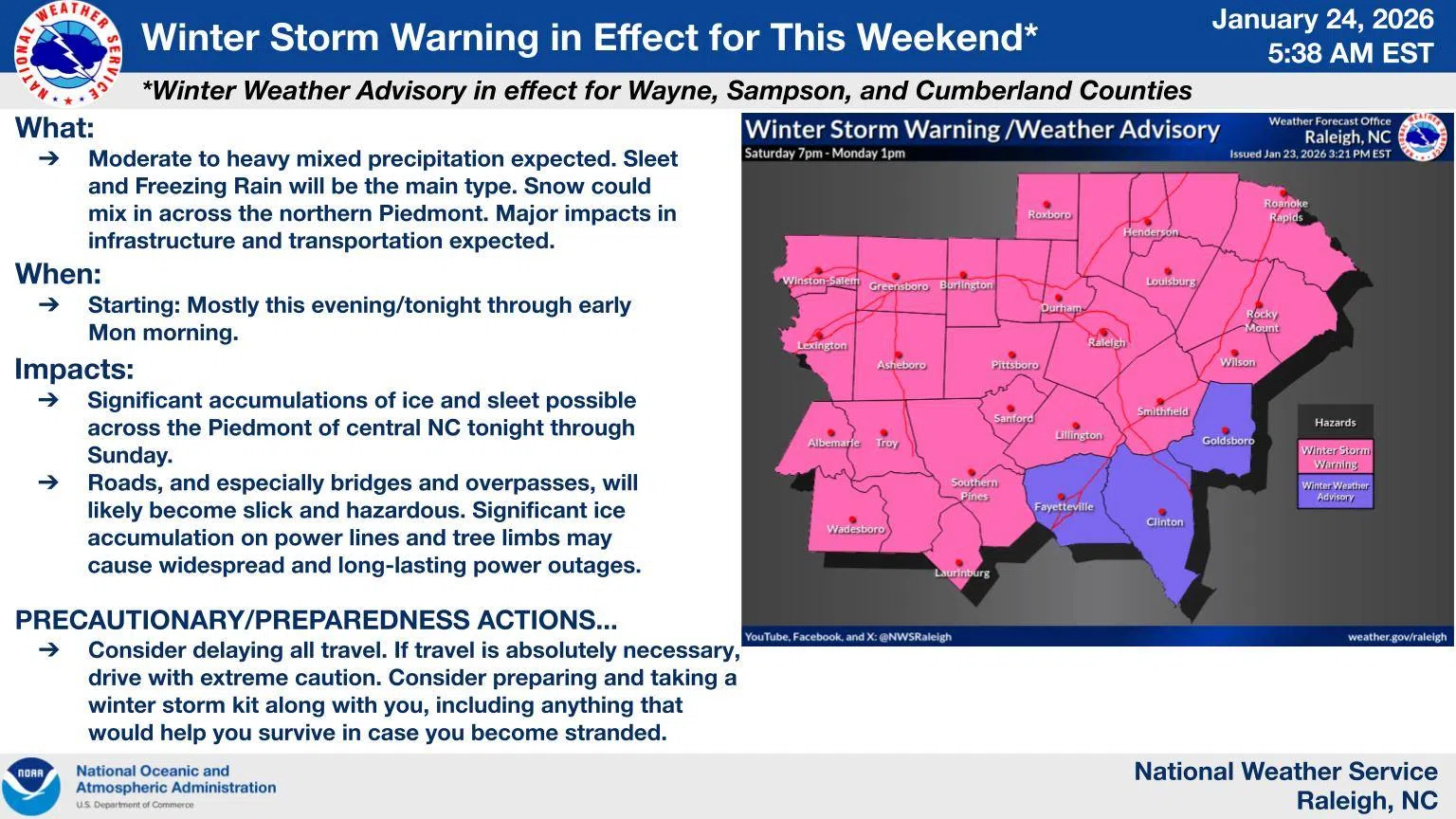
WAYNE COUNTY, N.C. — Wintry weather is expected to move into Wayne County late tonight, bringing the potential for icy conditions, power outages, and dangerously cold temperatures, according to the National Weather Service in Raleigh.
Forecasters say precipitation will begin as sleet late tonight, quickly transitioning to freezing rain through Sunday. A second round of wintry weather is expected Sunday afternoon, followed by dangerously cold temperatures into early next week.
Up to one-quarter inch of ice could accumulate across Wayne County. Officials warn that roads, bridges, and overpasses may become slick, creating hazardous travel conditions. Ice buildup on trees and power lines could also lead to power outages, and black ice may linger into Monday and Tuesday, even after precipitation ends.
Emergency officials are urging residents to take precautions and prepare now.
Safety reminders include:
-
Avoid non-essential travel
-
Prepare for extended power outages
-
Stock food, water, blankets, and fuel
-
Use generators safely — never indoors
-
Check smoke and carbon monoxide detectors
-
Check on family members and neighbors
Residents are also encouraged to ensure they can receive emergency weather notifications. Free CodeRED emergency alerts are available through Wayne County Emergency Management and can be accessed by registering at www.waynegov.com/codered.